
Maps Landing
Map content…
All Entries
Displaying 1 - 50 of 51
| Title | Category | Organization | Preview | File |
|---|---|---|---|---|
| CBJ Parcel Viewer | GIS Applications |
|
View Map | |
| Evergreen Cemetery | GIS Applications |
|
View Map | |
| 1996 Comprehensive Plan Maps | Comprehensive Plan |
|
Download PDF | |
| 2008 Comprehensive Plan Maps | Comprehensive Plan |
|
Download PDF | |
| 2013 Comprehensive Plan Update Maps | Comprehensive Plan |
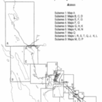
|
Download PDF | |
| Street & Property Atlas | General Interest | Download PDF | ||
| Zoning Wall Map | Zoning and Overlay |
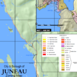
|
Download PDF | |
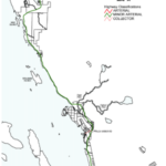
| Complete Zoning Atlas | Zoning and Overlay |
|
Download PDF | |
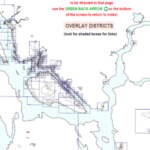
| Overlay District Maps | Zoning and Overlay |
|
Download PDF | |
| 2000 & 2010 Census Maps | General Interest |
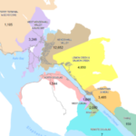
|
Download PDF | |
| Geographic Areas of Juneau | General Interest |
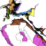
|
Download PDF | |
| City and Borough of Juneau Boundaries | General Interest |
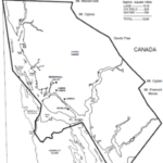
|
Download PDF | |
| Offshore Tectonic Tsunami – NOT ADOPTED | Flood and Hazard Maps | Tsunami |
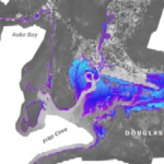
|
Download PDF |
| Inshore Submarine Landslide Tsunami – NOT ADOPTED | Flood and Hazard Maps | Tsunami |
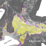
|
Download PDF |
| Combined Offshore Tectonic and Inshore Landslide Tsunami – NOT ADOPTED | Flood and Hazard Maps | Tsunami |
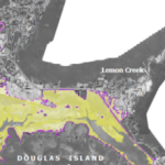
|
Download PDF |
| Landslide/Avalanche Area (1 of 7) – Southeast Downtown – 1987 | Flood and Hazard Maps | Landslide - Avalanche |
|
Download PDF |
| Landslide/Avalanche Area (2 of 7) – Central Downtown – 1987 | Flood and Hazard Maps | Landslide - Avalanche |
|
Download PDF |
| Landslide/Avalanche Area (3 of 7) – Southwest Downtown to White Sub. -1987 | Flood and Hazard Maps | Landslide - Avalanche |
|
Download PDF |
| Landslide/Avalanche Area (4 of 7) – Snow Avalanche 1972 | Flood and Hazard Maps | Landslide - Avalanche |
|
Download PDF |
| Landslide/Avalanche Area (5 of 7) – Mass Wasting – 1972 | Flood and Hazard Maps | Landslide - Avalanche |
|
Download PDF |
| Landslide/Avalanche Area (6 of 7) – Highlands / Starr Hill – 1972 | Flood and Hazard Maps | Landslide - Avalanche |
|
Download PDF |
| Landslide/Avalanche Area (7 of 7) – Thane – 1972 | Flood and Hazard Maps | Landslide - Avalanche |
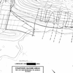
|
Download PDF |
| Landslide/Avalanche Area – White Sub. – 1972 | Flood and Hazard Maps | Landslide - Avalanche |
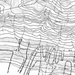
|
Download PDF |
| 2018 FEMA Flood Map Revision | Flood and Hazard Maps | Hide |
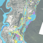
|
Download PDF |
| Downtown Public Parking Map | Parking |
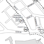
|
Download PDF | |
| Downtown Public Wheel Chair Accessible Parking Spaces | Parking |
|
Download PDF | |
| CBJ Road and Fire Service Area | Service Areas |
|
Download PDF | |
| Roaded Service Area 9 | Service Areas |
|
Download PDF | |
| Urban Service Area | Service Areas |
|
Download PDF | |
| Downtown Historic Neighborhoods Map | General Interest |
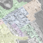
|
Download PDF | |
| Juneau Street Map | General Interest |
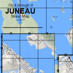
|
Download PDF | |
| Juneau Wetlands Management Plan – 1994 | General Interest |
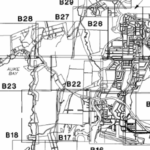
|
Download PDF | |
| Map of Juneau Voting Districts | General Interest | Voting |
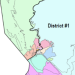
|
Download PDF |
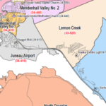
| Map of Juneau Election Precincts | General Interest | Voting |
|
Download PDF |
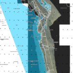
| North of Auke Bay | Flood and Hazard Maps | 2013 Overlay Flood Maps |
|
Download PDF |
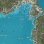
| Auke Bay | Flood and Hazard Maps | 2013 Overlay Flood Maps |
|
Download PDF |
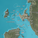
| Mendenhall Peninsula | Flood and Hazard Maps | 2013 Overlay Flood Maps |
|
Download PDF |
| Mendenhall Valley 1 (Northern Half) | Flood and Hazard Maps | 2013 Overlay Flood Maps |
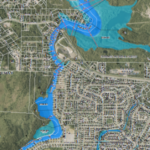
|
Download PDF |
| Mendenhall Valley 2 (Southern Half) | Flood and Hazard Maps | 2013 Overlay Flood Maps |
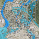
|
Download PDF |
| Lemon Creek | Flood and Hazard Maps | 2013 Overlay Flood Maps |
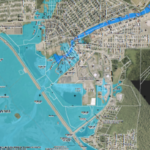
|
Download PDF |
| Downtown Juneau | Flood and Hazard Maps | 2013 Overlay Flood Maps |
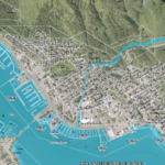
|
Download PDF |
| South Douglas | Flood and Hazard Maps | 2013 Overlay Flood Maps |
|
Download PDF |
| North Douglas & Salmon Creek | Flood and Hazard Maps | 2013 Overlay Flood Maps |
|
Download PDF |
| North Douglas | Flood and Hazard Maps | 2013 Overlay Flood Maps |
|
Download PDF |
| Downtown Douglas and Rock Dump | Flood and Hazard Maps | 2013 Overlay Flood Maps |
|
Download PDF |
| Ferry Terminal to Tee Harbor | Flood and Hazard Maps | 2013 Overlay Flood Maps |
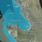
|
Download PDF |
| Winter Road Maintenance Priority | GIS Applications |
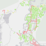
|
View Map | |
| CBJ Owned Lands | General Interest |
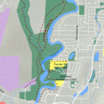
|
Download PDF | |
| Click here to go to FEMA Flood Map Service Center | Flood and Hazard Maps | No Classification |
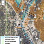
|
View Map |
| Avalanche Assessment Ordinance and Maps | Flood and Hazard Maps | Avalanche 2023 |
|
Download PDF |